Introducing PMEP Datasets and Tools
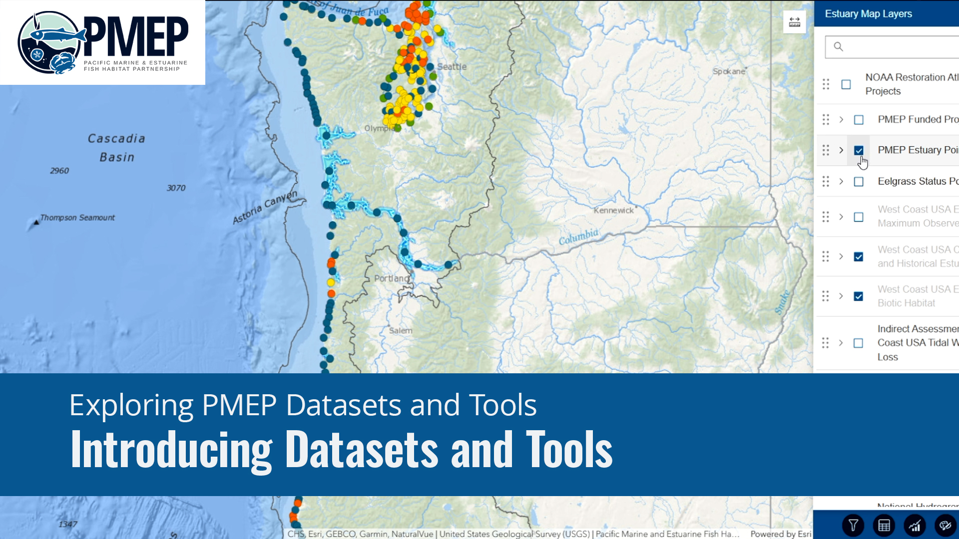
In this video, we will introduce PMEP and identify all of PMEP's available datasets and tools.
The Basics: Exploring PMEP Datasets and Tools
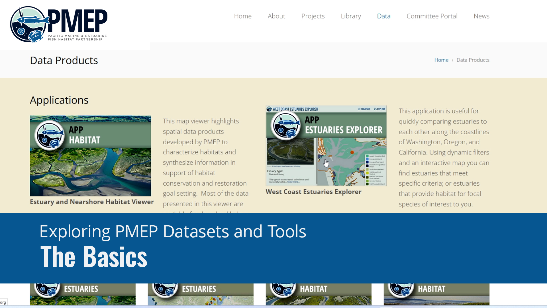
In this video, we will introduce PMEP's data applications, the West Coast Habitat Viewer, the Estuary Viewer, and the Estuary Explorer.
West Coast Estuary and Nearshore Habitat Viewer
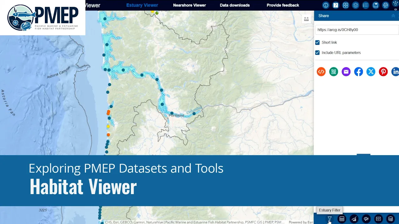
In this video, we will explore the West Coast Estuary and Nearshore Habitat Viewer. This tool highlights spatial data products developed by PMEP to characterize habitats and synthesize habitat data.
Filtering and Querying Data
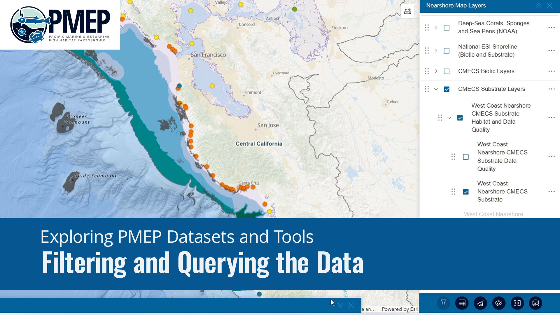
In this video, you will learn how to view data attributes, otherwise known as data fields, in a table, filter data, and view summary charts in the Nearshore Habitat Viewer.
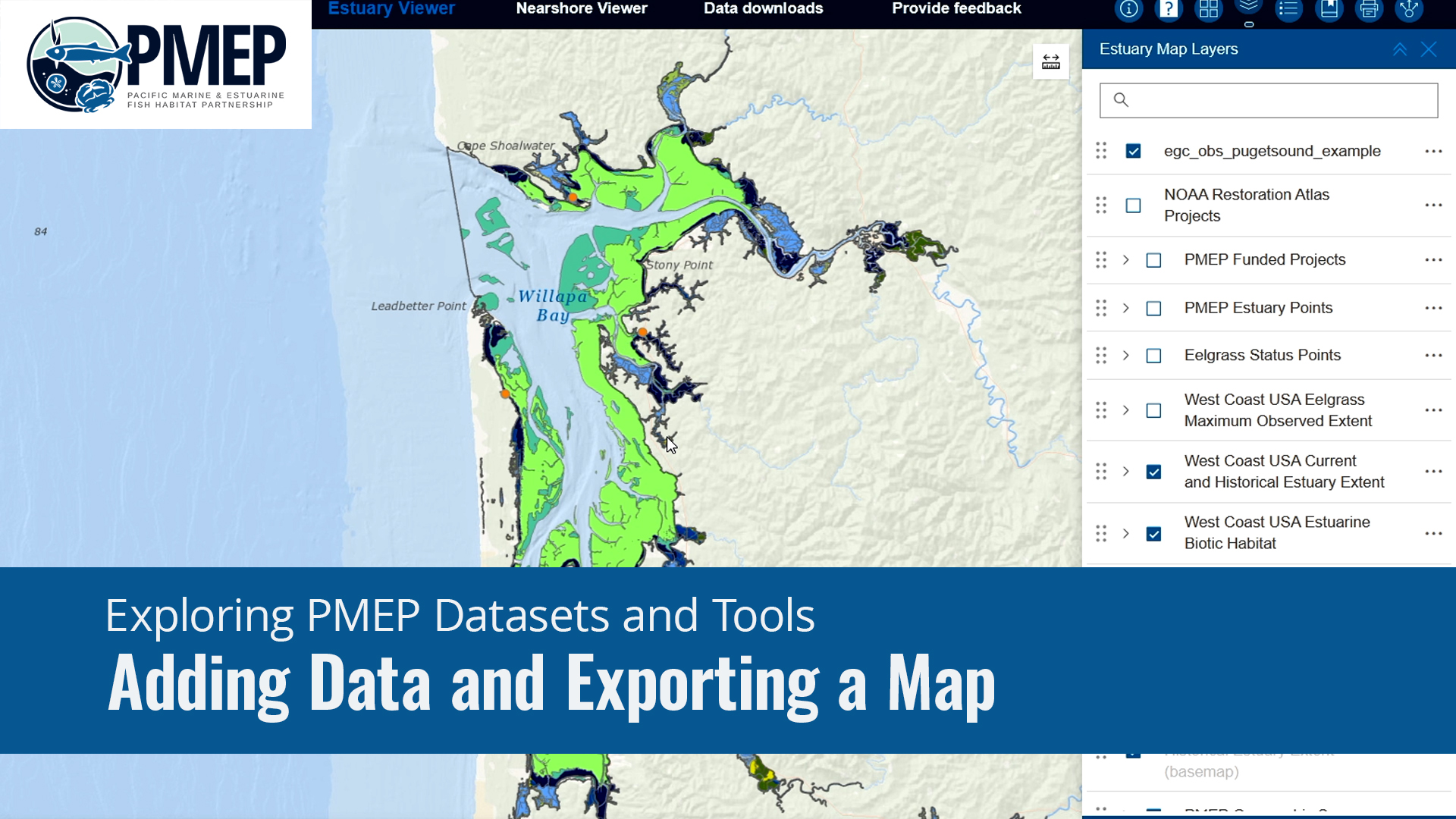
Adding Data and Exporting a Map
In this video, we will guide you through how to integrate your spatial data into PMEP's map application and export your map view as a PDF.
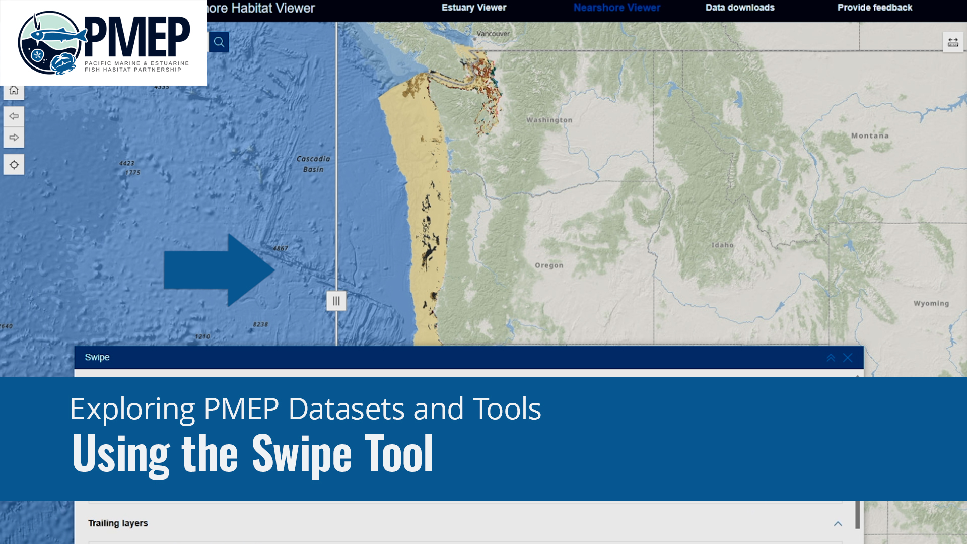
Using the Swipe Tool
In this video, you will use the swipe tool to explore how nearshore substrate and biotic habitat overlap.
