The National Fish Habitat Partnership released its 2019 Annual Report highlighting progress on its mission to “protect, restore, and enhance the nation’s fish and aquatic communities through partnerships that foster fish habitat conservation and improve the quality of life for the American people.” Through the National Fish Habitat Partnership program, the U.S. Fish and Wildlife Service and its partners provided more than $18 million to support 83 fish habitat conservation projects in 34 states. The Service provided $4 million in 2019, with state resource agencies, non-governmental organizations, and other partners contributing an additional $14 million. read the report here.
- July 31, 2020
- Joan Drinkwin
- Announcement
- 0 comments
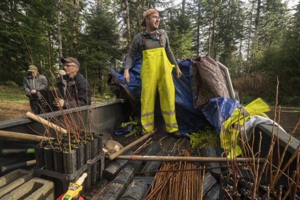
Evan Hayduk, Coordinator of the MidCoast Watersheds Council, was recently awarded the prestigious American Fisheries Society Rising Star Award, which recognizes outstanding early-career contributions in fish habitat conservation. Hayduk recieved a masters degree from the Evergreen State College in 2012 and since 2016 has worked with the Watersheds Council to restore fish habitat. He has overseen several large projects such as the North Creek Culvert Replacement, which restored over 13 miles of habitat with old growth forest for Chinook, coho, sea-run cutthroat trout, steelhead, and lamprey and the Yaquina Estuary Tidal Wetland Restoration project, which is currently under construction and will enhance 20 acres of tidal marsh habitat benefiting Chinook and coho. All Hayduk’s work focuses on restoring ecological processes that sustain the clean water and diverse habitats necessary for salmon and other fish and wildlife.
The award comes with $250 prize money to be provided to a Fish Habitat Partnership of the winner’s choice. PMEP has supported the MidCoast Watershed Council’s Yaquina Estuary Tidal Wetland Restoration Project and so Hayduk chose PMEP to receive the prize money.

- July 5, 2020
- Joan Drinkwin
- Uncategorized
- 0 comments
The Pacific Marine and Estuarine Fish Habitat Partnership (PMEP) is partnering with the Friends of South Slough Reserve to develop a synthesis of eelgrass restoration techniques along the U.S. West Coast to inform the restoration community, promote successful restoration of eelgrass, and provide greater clarity regarding the conditions where mitigation would (and conversely would not) be an appropriate intervention as opposed to other management strategies.
This Request for Proposals seeks to identify a contractor to complete this synthesis and report. The work will include compiling and synthesizing restoration and mitigation techniques, successes, and failures along the U.S. West Coast through literature reviews and interviews with restoration practitioners and researchers.
The Request for Proposals can be accessed here.
How to Respond
Please read the full Request for Proposals for instructions regarding what information to include and the preferred format for information. Incomplete or late proposals will not be considered. The deadline for proposals submissions is Friday, July 31, 2020 at 5:00PM PDT.